
Orange County Neighbor Sources
The useful public sources for Orange County neighbors answer separate questions. OCGIS establishes which parcels lie around an address. The assessment roll supplies the owner and mailing-address display for a parcel found on the map. Election maps explain district geography, while a regulated Board of Elections request has a different purpose and access path. Historic directories and municipal files can document an earlier block, but neither creates a current household roster. Keep the target parcel and each adjacent parcel as separate research rows.
| Source | What It Shows About a Block | Access |
|---|---|---|
| OCGIS parcel layer | Adjacent polygons, roads, address points, parcel IDs, boundaries, and district context | Public Map Viewer and Parcel Search; map data are as-is and not a legal survey. |
| Assessment roll | Owner display, parcel details, tax mailing address, value, class, exemption, and roll date | Orange County Parcel Information; search each identified parcel. |
| Election geography | Election district and town or city map context around the selected parcels | County-published maps; geography is not a resident list. |
| Voter file | Regulated voter-record fields for an authorized elections purpose | NYS Board of Elections request process; confidential records are withheld. |
| Civic or historic contacts | Public meeting, preservation, library, and research contacts connected to a place | County resources and the organization itself; membership rosters are not public by default. |
An owner is not automatically an occupant. A tax mailing address may be elsewhere, and a nearby parcel can be a road, water, school, cemetery, common tract, or vacant land. The record supports the limited point it actually makes: parcel geography, owner data, election geography, or a public contact route.
Orange County Neighbor Parcel Map
Use OCGIS to put the target address on the map, then work outward by parcel. GIS Parcel Search accepts owner name, address, or parcel ID and can search all municipalities, selected municipalities, or the visible map area. Find Address or Place accepts address, city, state, and ZIP, and incomplete entries can return possible matches. Once the map is centered, use Identify or Parcel Details, selection or query tools, the layer list, measure, basemap, and print controls to document the location.
The county parcel-search help shows the official controls used to locate an address, owner name, or parcel ID.
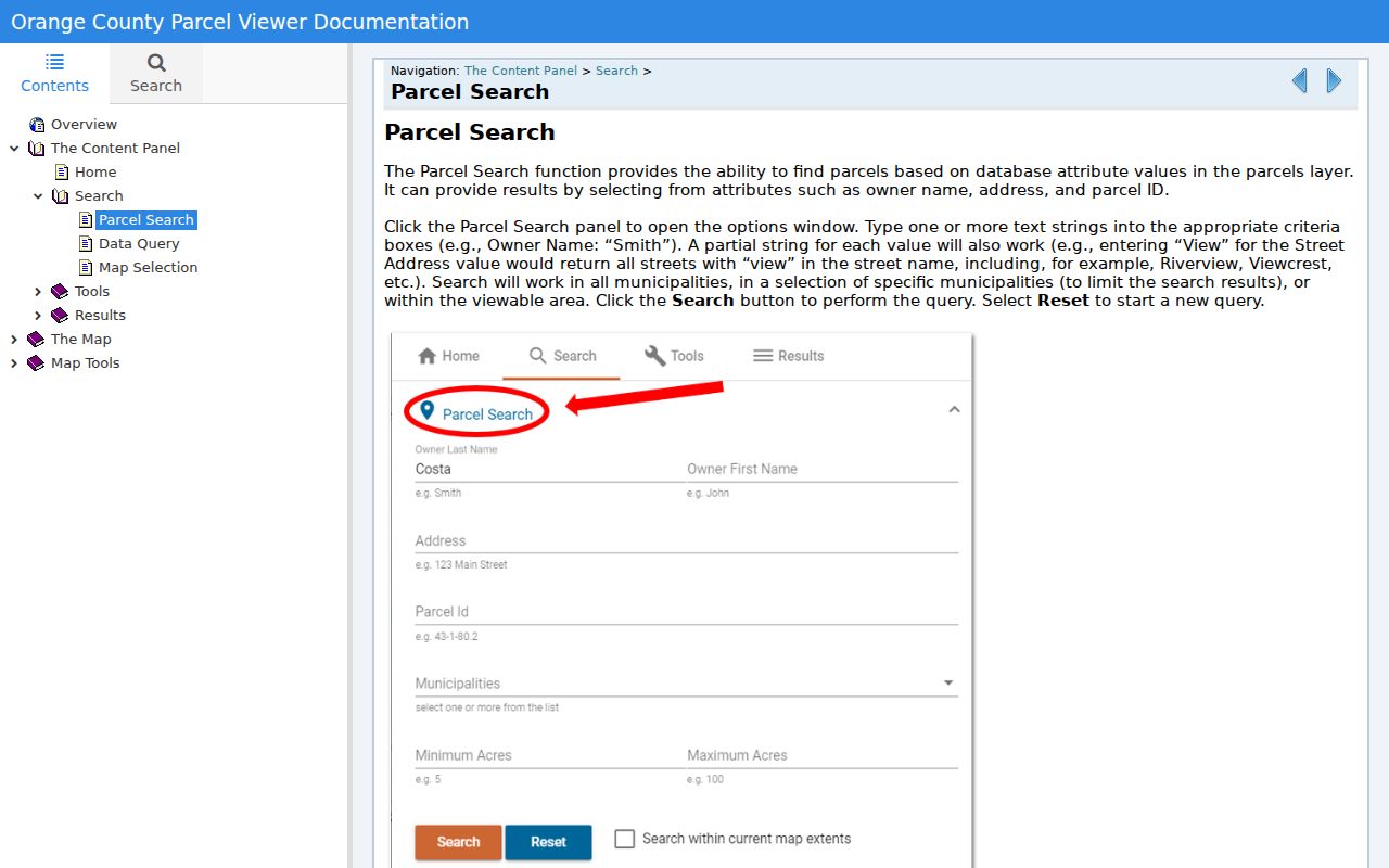
The map result is the starting point. Use it to identify the target and surrounding parcels, then move to the assessment route for owner information rather than treating the parcel layer as an occupant record.
- Enter the target address in OCGIS, confirm the municipality, and use Identify or Parcel Details to capture the target parcel.
- Zoom to the street segment and identify or select the surrounding polygons. Record the visible layer names, map scale, and the reason each parcel is included, such as a shared boundary or selected radius.
- Record PrintKey, SWIS, GIS Calculated Acres, and SECNO where the layer displays them. PrintKey and SWIS help carry the result from GIS into the correct assessor context.
- Search each identified parcel through the assessment route. Record owner display and mailing address as owner data, not as proof that a person occupies the parcel.
Orange County's 142,000-plus parcel tax-map system is an unusually useful geography layer. A parcel number can survive address changes, yet GIS polygons may be generalized or updated. Use a legal description and filed map for an ownership question that needs more than a research lead.
Orange County Neighbor District Layers
Parcel boundaries do not explain all of a block. OCGIS and county tax-map material can add municipal boundaries and school, water, fire, sewer, zoning, or flood context. Those layers describe public-service geography, not a list of customers or households. Near a city or town line, widen the map view and confirm the assessor municipality. Postal city and ZIP labels do not resolve that boundary question.
The county's election-district maps provide another geographic layer for the target address and nearby parcels.
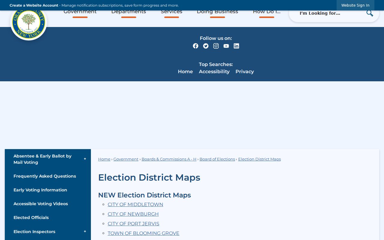
Use the map to preserve the district label and its date with the parcel note. An election district can explain where an address is administered without identifying every person at that address.
Note: Keep municipal name, postal city, ZIP label, PrintKey, SWIS, and parcel identifier in separate fields when recording an Orange County block.
Orange County Neighbor Voter File
The public NYS Voter Registration Search is a person-specific confirmation tool. It requires County, Last Name, First Name, Date of Birth, and ZIP Code, with cookies and JavaScript enabled. A match can return registration, poll-site, and mail-ballot-tracker information. A nonmatch does not prove that someone is not a resident because spelling, address, status, timing, confidentiality, and eligibility can affect the result.
A block-wide voter file is a separate request. New York Election Law section 3-103(5) requires an elections purpose, and the NYS Board of Elections FOIL route uses GovQA for requests. State guidance describes a comma-delimited zipped file with a layout and asks for the county, file type or date, delivery format, and elections purpose. Protected voter records, including confidential registration under Election Law section 5-508, are not a shortcut around that rule. Election geography and registration status never reveal anyone's ballot choice.
Orange County Neighbor Contacts
Orange County does not have a verified countywide neighborhood-association directory with member lists. Its public community resources page is the proper starting point for civic and historic contacts. It names organizations such as the Newburgh Preservation Association, Orange County Genealogical Society, DAR chapters, and West Point historians. These routes can help identify a public meeting or research contact for the neighborhood. They do not authorize a request for a private member, congregation, block-watch, or HOA roster.
| Public contact category | Appropriate block use |
|---|---|
| Newburgh Preservation Association | Historic and preservation contact for a Newburgh-area place or building question. |
| Orange County Genealogical Society | Research-room leads for historical directories, cemetery materials, and surname files. |
| Local historical society or library | Public collection, finding-aid, or meeting contact for the named municipality. |
| Municipal clerk or building department | Custodian route for a defined permit, code, or certificate record tied to an address. |
The county resource page collects public civic and historical paths that can add local context without turning a block into a membership list.
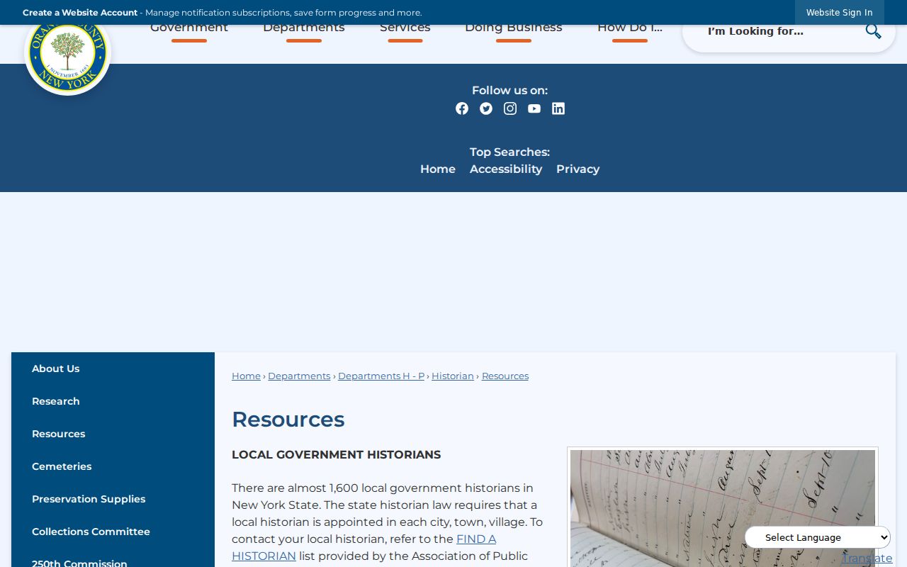
Contact the organization or municipality for its public route, then respect the limits it states. A public officer or meeting contact identifies a custodian or community resource, not a roster of people.
Orange County Neighbor History
Historic sources can show a block at a different point in time. Newburgh directories are especially useful: the Historical Society reports that pre-1918 volumes are mainly surname-alphabetical and lack a street cross-index, while 1918-and-later volumes can be searched by surname and address. The Newburgh Free Library has directories back to the 1860s and telephone directories from the 1930s through the early 2000s. Orange County Genealogical Society and the New York State Library cover additional, incomplete municipal runs.
For a former block, start with the same parcel and municipality, then test the house number, street variant, neighbor numbers, and surname in a directory or newspaper. The 1935 Newburgh Streets - Names and Origin can bridge an old street label to a modern one. Record the source year because a historical directory, permit, assessment photograph, and current parcel are not evidence from the same date.
Orange County Neighbor Tools
Official records provide a source-specific, dated answer. Commercial neighbor tools are category-level compilations of property, marketing, and address data. They can be stale, merge people with similar names, and cannot establish who occupies a parcel. The difference matters most on blocks with rentals, trusts, corporations, public land, common tracts, or parcels that cross a municipal edge.
| Source category | Useful for | Cannot establish |
|---|---|---|
| Official GIS and assessor records | Parcel geography, owner display, mailing address, assessment details, and map date | A complete current household for the parcel |
| Official election route | Lawful registration confirmation or properly requested election data | Ballot choice, every household member, or a general contact list |
| Commercial compilation category | A lead to verify against the originating public record | Current occupancy, identity, or a replacement for the official custodian |
For a whole named street, the parcel-to-deed sequence has more steps than the immediate-block approach. Use the Orange County street directory when the research question expands beyond the surrounding parcels.
Privacy Limits for Orange County Neighbors
A neighbor is a geographic relation, not a claim about a person's household. Renters, minor children, utility customers, delivery data, protected voters, DMV addresses, Address Confidentiality Program participants, and private organizational rosters are not public block records. A parcel can be public, vacant, institutional, multi-parcel, or held by a trust or corporation. Do not infer a family relationship, occupancy, or personal connection from shared frontage, a mailing address, or a same-name result.
For a defensible map note, retain the target address, search date, map URL, visible layers, scale, target PrintKey or SWIS, neighboring parcel identifiers, assessor result status, and why each parcel was selected. Leave an unavailable result unavailable. Note: A block map can support geography and history without naming private household members.