
Orange County Street Directory Walkthrough
A useful Orange County street directory search starts with the exact physical address, including the municipality. The address points to an assessment record and parcel key; that record names the taxable owner and separates the situs address from any mailing address. The parcel key then links the address to a map and to recorded land documents. Each step narrows the next search without treating any one display as a complete account of everyone connected to a property.
- Enter the address in Orange County Parcel Information, using Municipality when the road name repeats. Record the owner display, situs address, Tax Map or SBL number, and roll date.
- Open the area in OCGIS. Use the parcel boundary, PrintKey, SWIS, and map layers to confirm the lot.
- Use the owner name, legal description, municipality, and parcel reference to locate the purchase record in the County Clerk's deed index. The deed begins the ownership chain.
- For a lawful registration confirmation, use the person-specific NYS Voter Lookup with the required identifying details. It is not an address-sorted street roster.
- For earlier household clues, compare the address and surname in historical directories, then test the result against deeds, census schedules, and newspapers rather than assuming an unbroken connection.
That order moves from address to owner, through the deed chain, into a regulated voter pathway, and back through criss-cross history. A map can locate a parcel, a deed can document a transaction, and an old directory can place a name at an address in one edition. None is a substitute for the others.
Orange County Address Municipalities
Confirm the municipality before relying on a house number in Orange County. The county assessment search includes Municipality because place labels overlap. City of Newburgh, Town of Newburgh, and Town of New Windsor are separate research contexts even when a mailing label says Newburgh. The distinction also matters for local assessment corrections, building files, and street-address administration.
Keep four fields in the notes: situs address, owner mailing address, municipality or SWIS context, and parcel identifier. A postal city is not proof of the tax municipality, and a mailing address may be elsewhere. The OCGIS ZIP map helps with county context, while the municipality field and parcel map resolve the local record context.
Note: Preserve the exact municipal label shown in each source, because an older deed or directory may use a place name that does not match a current screen.
Orange County Address Property Search
The county property route is the best opening tool for an Orange County address inquiry. Parcel Information describes searches by Owner Name, Address, Tax Map number, and Municipality. Its linked services can expose owner, parcel, assessed values, tax maps, photographs, comparable searches, and reports. The local assessor retains the official assessment roll, so a city or town office may hold a later change than a county web display.
| Orange County field | How it helps a street search |
|---|---|
| Owner Name | Finds owner-linked parcels; test punctuation, initials, and spelling variants where appropriate. |
| Address | Finds the situs or physical property address and its parcel card. |
| Tax Map / SBL | Uses the parcel identifier that bridges the assessment card, tax map, and legal description. |
| Municipality | Narrows repeated road names and separates City Newburgh, Town Newburgh, and Town New Windsor. |
The Image Mate route is another county-linked property option. It says its assessment data are updated weekly except for the Town of Warwick and City of Newburgh. That update statement is useful context, not a statement that every displayed record is final or current for each municipal roll.
See the Orange County Image Mate property-search route before comparing fields across a parcel record.
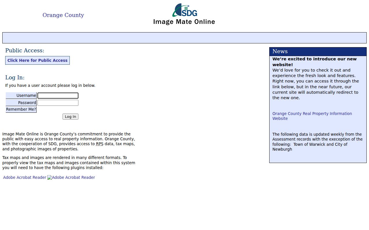
The property search works best when its owner, situs, parcel, and roll-date fields are copied separately. A mailing address is not evidence that the owner is present at the situs address.
Orange County Street Map Browse
OCGIS gives an Orange County address search its map view. Parcel Search accepts Owner Name, Address, and Parcel ID, with partial strings supported in the official help. Find Address or Place accepts address, city, state, and ZIP, and incomplete searches can return possible matches. Once the map reaches the street segment, use Identify, parcel details, select or query, measure, layers, basemap, and print tools to inspect the geography.
The public parcel layer is a locator, not a complete owner database. Fields such as OBJECTID, PrintKey, SWIS, GIS Calculated Acres, and SECNO tie a polygon to the assessment route. An adjacent selection shows spatial proximity only. It does not establish a relationship between the people or entities named on nearby parcels.
OCGIS also exposes municipal and special-district layers. Those layers help distinguish a road that crosses a jurisdiction or district boundary, which can explain why a permit, assessment update, or local file belongs with another custodian.
Orange County Street Records
Address-keyed records in Orange County have different keepers and different limits. The assessment roll begins with the parcel and taxable owner. OCGIS locates the parcel on the street. The County Clerk records conveyances and related land documents. Municipal departments keep their own building files. Election data follow a separate state and county process. Reading the sources as a chain keeps each result in its proper scope.
| Address record | Orange County keeper | What it can show | Access route |
|---|---|---|---|
| Assessment and tax roll | County and local assessors | Owner, situs and mailing address, parcel/SBL, assessed value, exemptions, and roll date. | Parcel Information; the local assessor holds the official roll. |
| Parcel and tax map | OCGIS and Tax Map staff | Parcel boundary, section/block/lot, subdivision map, and district geography. | Tax Map and OCGIS public viewers. |
| Deeds, mortgages, liens, maps | Orange County Clerk / Record Room | Recorded parties, recording date, legal description, document number, and image or book reference. | Online Records, SearchIQS, or Record Room. |
| Registration confirmation | NYS Board of Elections and Orange BOE | A person-specific registration or poll-site result, subject to protected-record rules. | NYS Voter Lookup; full-file access is separately regulated. |
| Permits and certificates | Relevant city or town building department | Public permit, work, certificate, or code-history fields where the local file is available. | Ask the municipality for its address-file procedure; no countywide online run was located. |
A parcel number ties the assessment roll, tax map, and deed description together more reliably than a bare street name. The road name remains useful for directory and map work, but it can change or duplicate across municipalities.
Orange County Street Parcel Maps
Orange County's Tax Map program reports more than 142,000 parcels. Its maps maintain section, block, and lot information along with subdivision maps and school, water, fire, and sewer district layers. For an Orange County address search, the parcel identifier is the durable key when a number changes, a subdivision is created, or a long road crosses town lines.
Read the municipality or SWIS, section, block, lot, and PrintKey where shown. Compare them with the legal description in the deed rather than treating the map boundary as a survey. OCGIS data are provided as-is and are not legal documents. A parcel polygon may be shifted, generalized, or later updated.
Review the Orange County Tax Map page before using a parcel number as the bridge between an address and a recorded description.
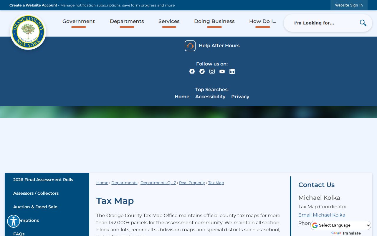
The map view helps explain which parcel belongs to the address. The deed image and appropriate assessor remain the routes for official record confirmation.
- Parcel or SBL
- A tax-map identifier, often section, block, and lot, used to connect the assessment record to map and deed research.
- Situs address
- The physical property location. It is distinct from the correspondence address shown for an owner or organization.
- Legal description
- The lot, subdivision, or metes-and-bounds language in a recorded document. It can survive a street-name or numbering change.
- Criss-cross directory
- A historical directory arrangement that can connect an address with a listed name for a particular edition, when the volume includes that index.
Orange County Street Deed Chain
For ownership history along an Orange County street, the County Clerk is the document custodian. The Clerk's Online Records page links to SearchIQS and directs the public to free computers at the County Clerk / Record Room. A one-day remote account is listed at $15; 90-day accounts are listed at $150 in-state and $600 out-of-state. Image charges and copy fees differ by access route, so check the Clerk's current page before ordering.
Start with the current owner and parcel/SBL, locate the most recent purchase deed, and copy the document number, recording date, grantor, grantee, municipality, legal description or parcel reference, and any book or page reference. Then search the seller as the next earlier grantee. Test initials, married names, trust names, organization names, and spelling variants. Mortgages, assignments, satisfactions, lis pendens, and maps can explain financing or boundary events, but a mortgage transfer is not a transfer of ownership.
If the online index stops, use Record Room books, FamilySearch browse images, microfilm, or historical repositories. The Record Room can supply plain copies at the published schedule, certified copies where available, and historical series that do not appear in a remote index. A mail request should identify the record and include the required payment and self-addressed stamped envelope.
Orange County Voter Street Path
The NYS Voter Lookup is a person-specific confirmation tool, not an Orange County address roster. Its inspected controls require County, Last Name, First Name, Date of Birth in MM/DD/YYYY format, and ZIP Code. Cookies and JavaScript are required. A result can provide registration or poll-site and mail-ballot-tracker information, while a nonmatch can reflect spelling, timing, address, status, confidentiality, or eligibility rather than a simple absence.
To understand the geography around a road, use Orange County's election-district maps. Do not use the public lookup to build an address list. A full voter file needs an elections purpose under New York Election Law §3-103(5). The requester should specify the county, file type or date, delivery format, and genuine election-related purpose; protected records can be withheld.
Orange County Board of Elections lists its office at 75 Webster Avenue in Goshen and publishes district maps for town and city contexts. Registration does not reveal a ballot choice, and one registration result does not prove a complete household at an address.
Orange County Historic Street Clues
Older street research often requires a surname as well as an address. Newburgh's public directory collection reaches back to the 1860s. The Newburgh Historical Society explains that volumes before 1918 are generally surname-alphabetical without a street cross-index, while 1918 and later volumes can be searched by surname and address. That makes post-1918 books more useful for an address-first Orange County question.
For a changed or unfamiliar Newburgh road name, use the 1935 Newburgh Streets - Names and Origin, compiled by city clerk Daniel J. Coutant and Anna Templeton, as a name bridge. Test the old and current labels alongside neighboring numbers, the parcel map, legal description, directories, and newspaper indexes. No authoritative countywide 911 renumbering year was located, so a presumed number change should remain a research question rather than a stated fact.
The collection details belong on the Orange County Directory Book page. Here, preserve each historical street form in the notes and use it to reach the right parcel or volume.
Orange County Street Privacy Limits
An Orange County street-by-street search cannot establish every person connected with an address. A deed records a transaction, not a current household. An assessment identifies a taxable owner, not everyone at the parcel. A voter lookup confirms a regulated registration result, not a complete biography. DMV personal information is restricted by the federal Driver's Privacy Protection Act, and utility or other private customer lists are not public address records.
Keep a record of the source date and exact field that supports each conclusion. When a display looks wrong, ask the originating assessor, Clerk, Board of Elections, or municipal custodian about its correction process. A FOIL request under New York's Freedom of Information Law, Public Officers Law Article 6, §§84–90, can seek a defined agency record but cannot override a confidentiality rule or require an office to create a new record.
Lawful use. Orange County address research is for personal, family-history, property-history, civic, or safety purposes. Do not use records to stalk, harass, or harm another person.